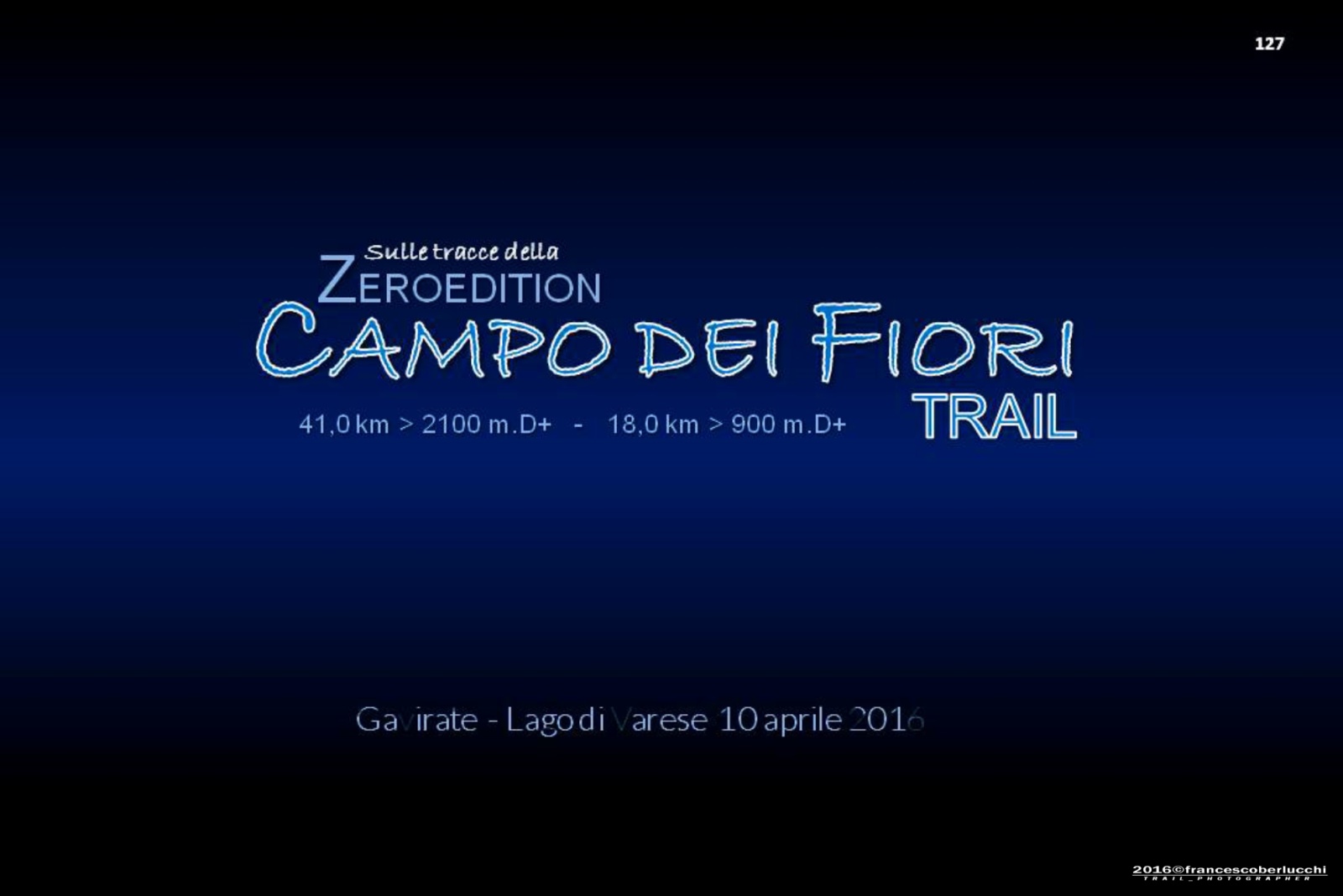
Sulle tracce della ZeroEdition CAMPO DEI FIORI TRAIL 2016
Il CAMPO DEI FIORI è un massiccio montuoso delle Alpi che si trova nella sezione delle Prealpi Luganesi (CH), a nord della Città di Varese.
Per salvaguardare il delicato ecosistema, nel 1984 fu istituito il Parco Regionale Campo dei Fiori http://www.parcocampodeifiori.it/, permettendo così, una maggiore valorizzazione dei sentieri silvestri dotati di apposita segnaletica.
La particolare collocazione geografica e le caratteristiche geologiche hanno favorito l'instaurarsi di una vegetazione multiforme, regalando così, un particolare campo di gara affascinante selettivo, fra natura, storia e panorami mozzafiato!
E in questo contesto che è nato per iniziativa dellASD Atletica Gavirate http://www.atleticagavirate.com/ lappuntamento di sabato 1 ottobre 2016 con il "CAMPO DEI FIORI TRAIL".
Il percorso si sviluppa nelle due frazioni, la più lunga di 41,0 km - 2100 m. D+ e laltra di 18,0 km - 900 m.D+, sempre con partenza e arrivo dal Comune di Comune di Gavirate Lago di Varese http://www.progavirate.com/.
Il presente reportage riguarda la ZeroEdition del 10 aprile 2016, il classico test del percorso nella formula del Trail autogestito le cui riprese sono state effettuate all8,0° km. del Forte Orino ed in prossimità del 32,0°km della Punta di Mezzo che con i suoi 1227 m. di altitudine è la vetta più alta del massiccio di riferimento.
Info: http://www.campodeifioritrail.it/.
1 / 51
‹
›
‹ 1 / 51 ›
pause
play
enlarge
slideshowhd
START SLIDESHOW
.......... PER LA VISIONE IN DISSOLVENZA CLICCARE SUL SOPRASTANTE BOTTONE ---slideshowhd---; PER SCARICARE LE FOTO SELEZIONARE ED ENTRARE NELLA SEZIONE "Downloads"--- #### S.V.P. POUR LA VISUALISATION FONDU' ECHAINE' CLIQUEZ SUR LE BOUTON CI-DESSUS ---slideshowhd---; POUR TELECHARGER LES PHOTOS, SELECTIONNER ET ENTRER DANS LA SECTION"Downloads"---

4 / 51
‹
›
‹ 4 / 51 ›
pause
play
enlarge
slideshowhd
VISTA SUI LAGHI DI: VARESE, COMABBIO E MONATE .
5 / 51
‹
›
‹ 5 / 51 ›
pause
play
enlarge
slideshowhd
VISTA SUL SOTTOSTANTE ABITATO DI GAVIRATE LAGO DI VARESE
19 / 51
‹
›
‹ 19 / 51 ›
pause
play
enlarge
slideshowhd
VISTA SUI LAGHI DI: VARESE, COMABBIO, MONATE e LAGO VERBANO
28 / 51
‹
›
‹ 28 / 51 ›
pause
play
enlarge
slideshowhd
"PERCORSO LUNGO" - PER LA DISCESA VERSO L'ABITATO DI ORINO
29 / 51
‹
›
‹ 29 / 51 ›
pause
play
enlarge
slideshowhd
"PERCORSO CORTO" - PER LA DISCESA VERSO L'ABITATO DI GAVIRATE LAGO DI VARESE
30 / 51
‹
›
‹ 30 / 51 ›
pause
play
enlarge
slideshowhd
SUL SENTIERO PER LA PUNTA DI MEZZO, VETTA CAMPO DEI FIORI
31 / 51
‹
›
‹ 31 / 51 ›
pause
play
enlarge
slideshowhd
SUL SENTIERO PER LA PUNTA DI MEZZO, VETTA CAMPO DEI FIORI
32 / 51
‹
›
‹ 32 / 51 ›
pause
play
enlarge
slideshowhd
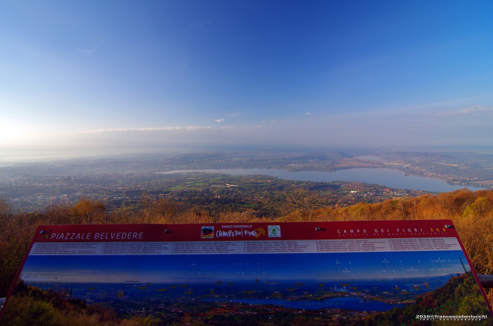
31,5°KM LOCALITA' "PRATONE PUNTA DI MEZZO" M.1187
34 / 51
‹
›
‹ 34 / 51 ›
pause
play
enlarge
slideshowhd
32,0° KM PUNTA DI MEZZO M.1227 - VETTA CAMPO DEI FIORI
36 / 51
‹
›
‹ 36 / 51 ›
pause
play
enlarge
slideshowhd
32,0° KM PUNTA DI MEZZO M.1227 - VETTA CAMPO DEI FIORI
37 / 51
‹
›
‹ 37 / 51 ›
pause
play
enlarge
slideshowhd
32,0° KM PUNTA DI MEZZO M.1227 - VETTA CAMPO DEI FIORI
38 / 51
‹
›
‹ 38 / 51 ›
pause
play
enlarge
slideshowhd
32,0° KM PUNTA DI MEZZO M.1227 - VETTA CAMPO DEI FIORI
39 / 51
‹
›
‹ 39 / 51 ›
pause
play
enlarge
slideshowhd
32,0° KM PUNTA DI MEZZO M.1227 - VETTA CAMPO DEI FIORI
40 / 51
‹
›
‹ 40 / 51 ›
pause
play
enlarge
slideshowhd
VISTA SULLA VALCUVIA E SULLA VICINA PUNTA PARADISO M.1224 CAMPO DEI FIORI
41 / 51
‹
›
‹ 41 / 51 ›
pause
play
enlarge
slideshowhd
32,0° KM PUNTA DI MEZZO M.1227 - VETTA CAMPO DEI FIORI
44 / 51
‹
›
‹ 44 / 51 ›
pause
play
enlarge
slideshowhd
32,0° KM PUNTA DI MEZZO M.1227 - VETTA CAMPO DEI FIORI
45 / 51
‹
›
‹ 45 / 51 ›
pause
play
enlarge
slideshowhd
32,0° KM CRESTA MERIGETT - DISCESA VERSO GAVIRATE LAGO DI VARESE
46 / 51
‹
›
‹ 46 / 51 ›
pause
play
enlarge
slideshowhd
32,0° KM CRESTA MERIGETT - DISCESA VERSO GAVIRATE LAGO DI VARESE
47 / 51
‹
›
‹ 47 / 51 ›
pause
play
enlarge
slideshowhd
32,0° KM CRESTA MERIGETT - DISCESA VERSO GAVIRATE LAGO DI VARESE
48 / 51
‹
›
‹ 48 / 51 ›
pause
play
enlarge
slideshowhd
32,0° KM CRESTA MERIGETT - DISCESA VERSO GAVIRATE LAGO DI VARESE
49 / 51
‹
›
‹ 49 / 51 ›
pause
play
enlarge
slideshowhd
32,0° KM CRESTA MERIGETT - DISCESA VERSO GAVIRATE LAGO DI VARESE
50 / 51
‹
›
‹ 50 / 51 ›
pause
play
enlarge
slideshowhd
32,0° KM CRESTA MERIGETT - DISCESA VERSO GAVIRATE LAGO DI VARESE
51 / 51
‹
›
‹ 51 / 51 ›
pause
play
enlarge
slideshowhd
32,0° KM CRESTA MERIGETT - DISCESA VERSO GAVIRATE LAGO DI VARESE


